"Precision in Every Plot"
AutoCAD Drafting · Civil 3D · GIS Mapping · Survey Processing · Pipeline Design — delivering accuracy-first solutions from Pune, Maharashtra.
Based in Pune, Maharashtra — delivering survey, drafting, and geospatial design solutions to infrastructure, irrigation and smart city projects across India.
Survey Data Processing & Topographical Mapping (Total Station + DGPS)
AutoCAD Drafting, PDF to CAD & Engineering Schematics
Civil 3D – Contours, Profiles, Surface Modeling & Grading
GIS Mapping, Spatial Analysis & Village Map Digitization
Pipeline, Irrigation & Infrastructure Layout Drawings

End-to-end precision services — from raw field data to final submission-ready drawings.
Total Station & DGPS data processing into accurate topographical maps with elevation and contour data.
Converting PDFs, scanned drawings into clean, layered, annotated CAD files per IS standards.
Ground surface modeling, contour maps, spot levels, longitudinal & cross sections for land development.
PDN pipe alignment, area statements, crossing details, distribution layout for water supply projects.
Village map digitization, command area mapping, GIS layer creation using QGIS & ArcGIS.
Post-construction as-built documentation reflecting actual field-verified conditions for project archives.
Longitudinal sections, cross section drafting, elevation & gradient analysis for road and canal corridors.
Total Station & DGPS field support, coordinate verification, topographic survey processing.
Engineering projects delivered with accuracy and professionalism across India.
Snapshots from real projects — AutoCAD drawings, GIS analysis, Civil 3D surfaces and field survey work.
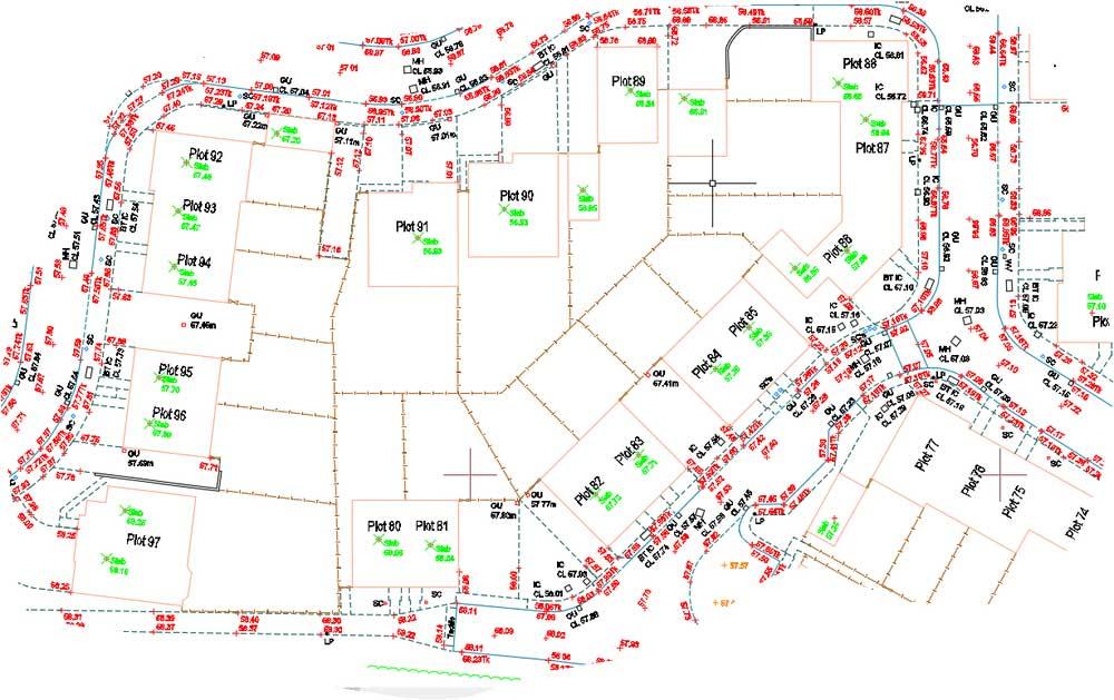
Survey Plot Drawing
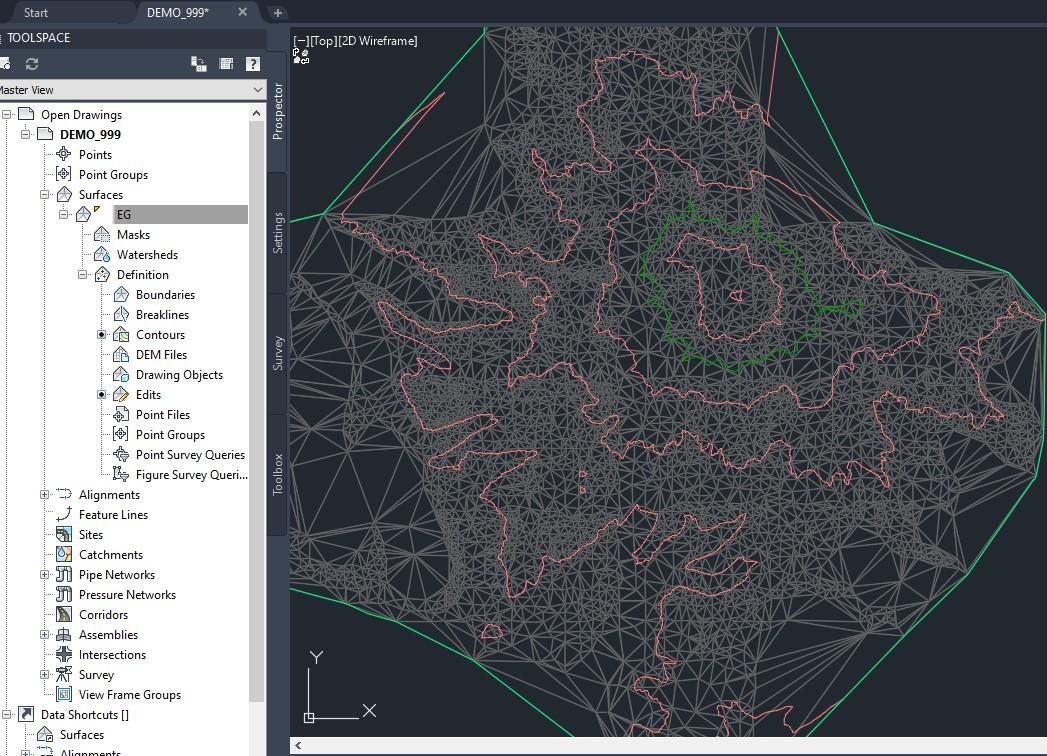
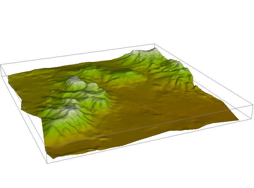
TIN Surface Model
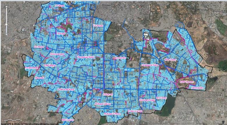
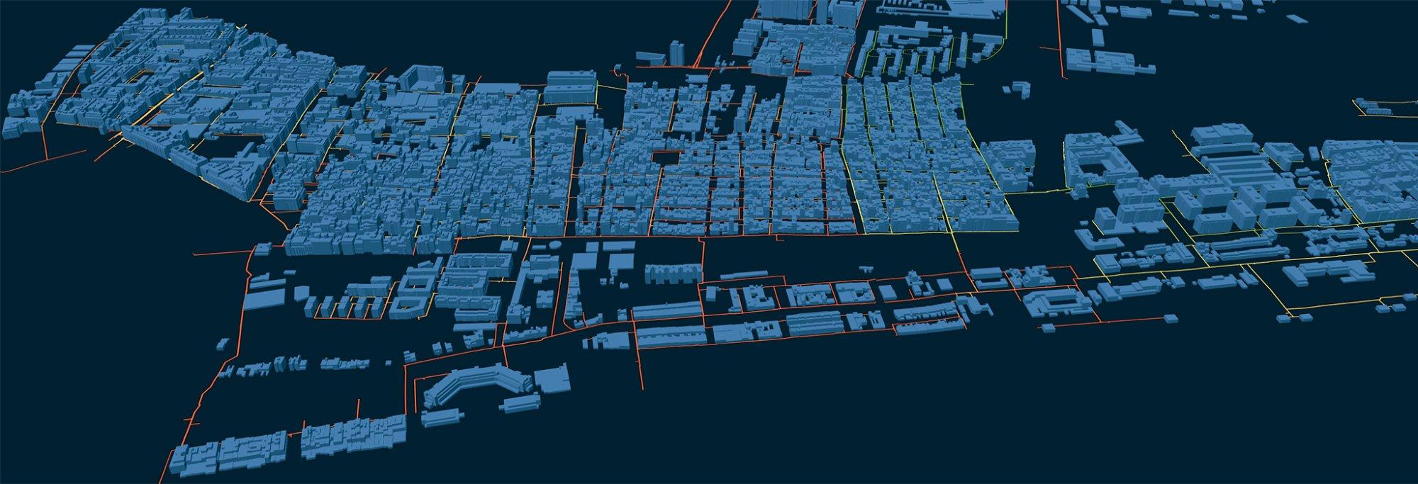
Indian City Ward Map
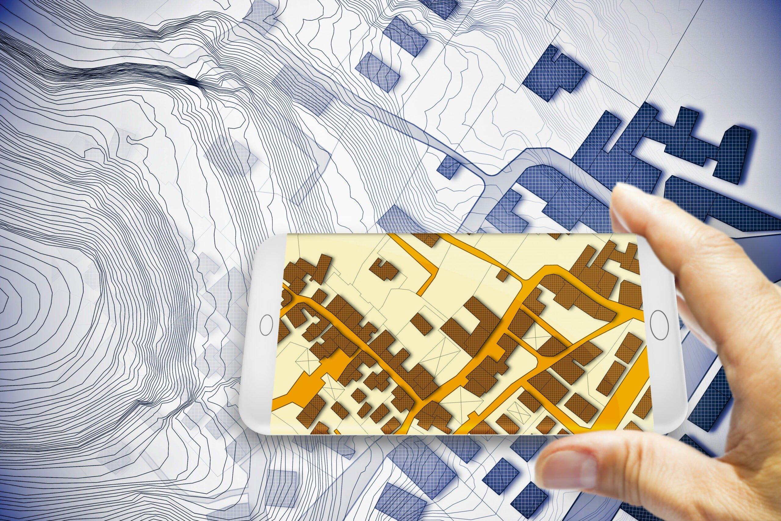
3D Terrain Model
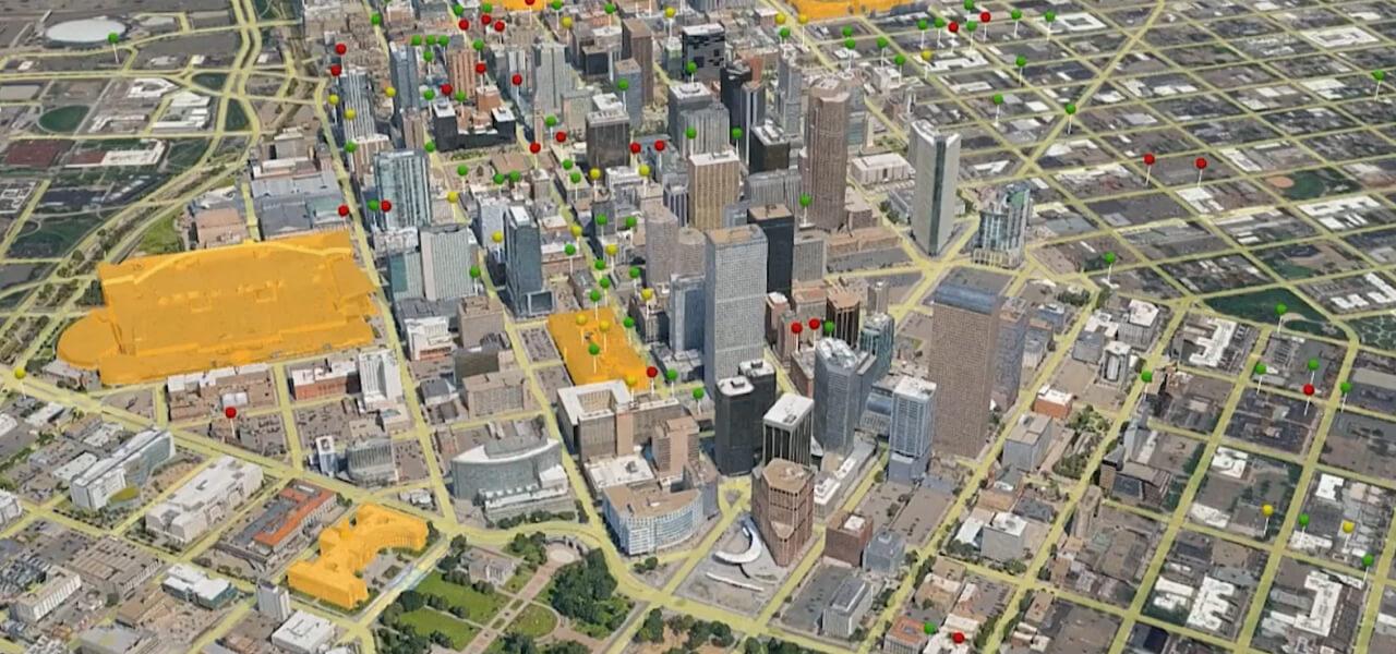
3D City Mapping
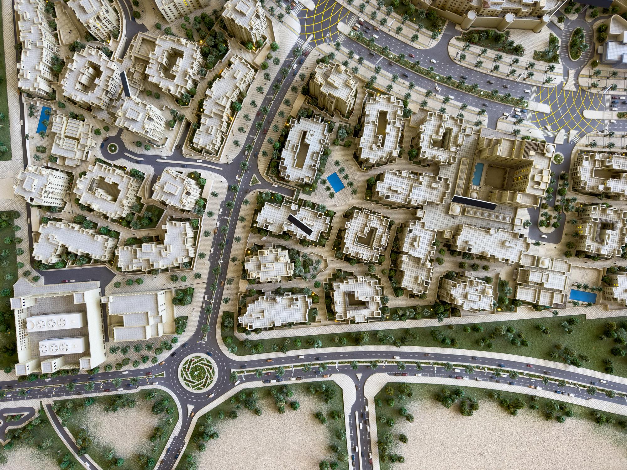
City Planning Model
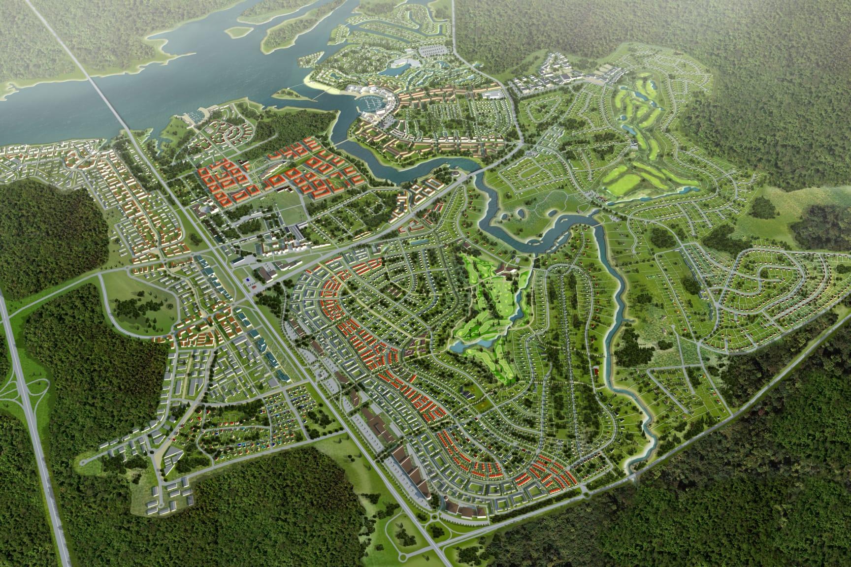
Aerial Masterplan
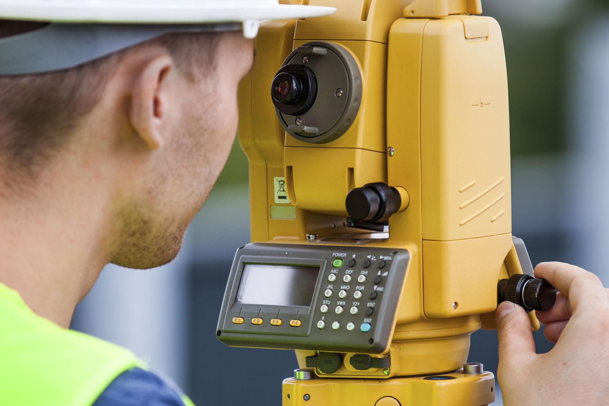
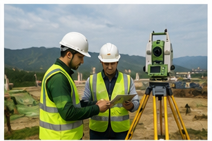
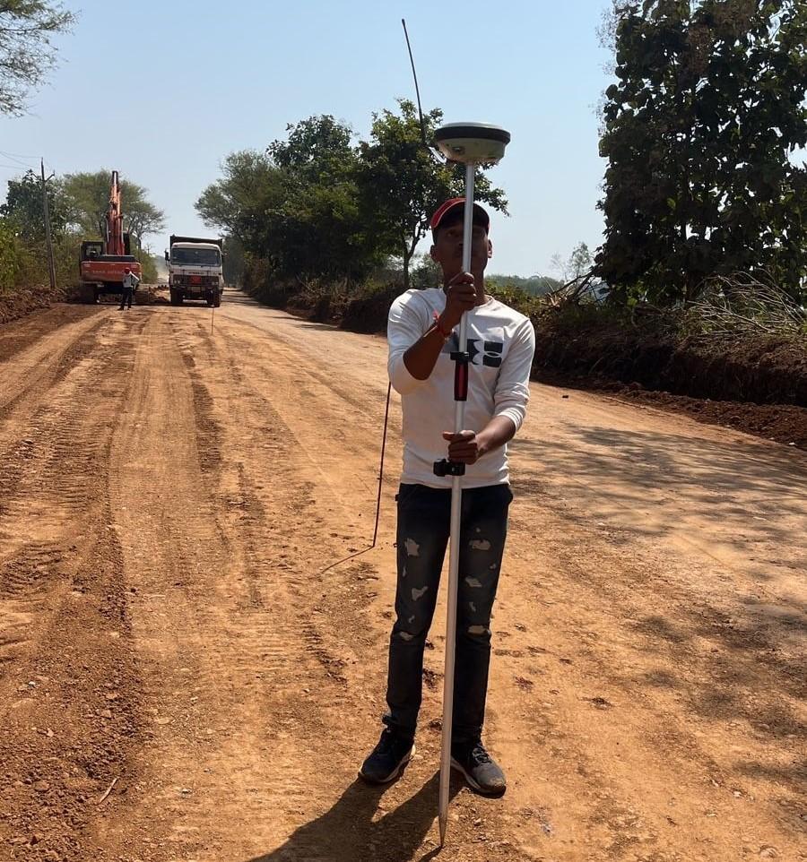
Total Station Field Work
Engineering Consultation
AutoCAD Drafting
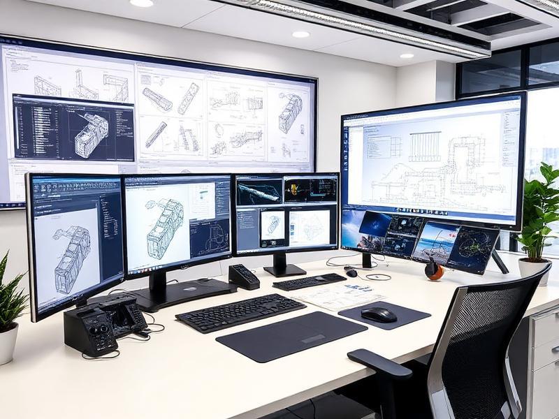
Engineering Workstation
Engineering Documentation
Industry-leading CAD, GIS, and survey software to deliver flawless engineering outputs every time.
Full 2D/3D drafting, PDF/image tracing, dynamic blocks, layer management and annotation for engineering drawings.
Digital terrain models, contour generation, profile/cross-sections, pipe networks, grading and corridor modeling.
Village digitization, raster/vector analysis, spatial queries, coordinate transformation and map publishing.
Raw field data conversion, coordinate computation, traverse adjustment and topographic model generation.
Quality, commitment, and deep technical expertise — at a price that works for Indian infrastructure projects.
Precision-verified at every stage — tolerance-zero approach on measurements and outputs.
Committed timelines with daily progress updates — your deadlines are our deadlines.
Structured 5-step workflow: Data → Processing → Drafting → QC → Delivery.
Competitive pricing designed for Indian government, irrigation and infrastructure contracts.
Certified proficiency in AutoCAD, Civil 3D, QGIS and field survey equipment.
Revisions included — we don't close a project until you're fully satisfied with the output.
Engineering precision and dedication to quality — from Maharashtra's irrigation networks to national highway corridors across India.
A proven, quality-controlled process from field data to final deliverable.
Field survey, TS, DGPS & client input
Coordinate computation & validation
AutoCAD / Civil 3D / QGIS production
Precision review & standards compliance
DWG, PDF, Shapefiles as required
Get a free consultation and quote for your survey, drafting, or GIS requirement. Response guaranteed within 24 hours.
Reach out today — we respond within 24 hours.
Pune, Maharashtra, India